


Point Cloud to 3D Modeling Services for Precise Project Delivery
Point cloud to 3D modeling converts precise scan data into accurate digital models, improving project planning, reducing errors, saving costs, and ensuring efficient, reliable construction and renovation outcomes.


Starting a complex construction or renovation project requires an exact understanding of existing site conditions. Miscalculating a single structural element can lead to expensive delays and major safety risks down the line. To solve this, industry professionals use point cloud data, which captures physical spaces with millimeter precision.
3D modeling takes this raw data and transforms it into actionable, intelligent digital representations. Modern projects rely heavily on these 3D models to plan, design, and execute work flawlessly. Navigating the transition from raw data points to a fully functional digital model requires specific expertise and specialized software.
By utilizing professional point cloud to 3d modeling services, project managers and architects can guarantee that their digital blueprints perfectly match reality. This seamless translation from physical space to digital format serves as the foundation for precise, error-free project delivery.
Understanding Point Cloud Data
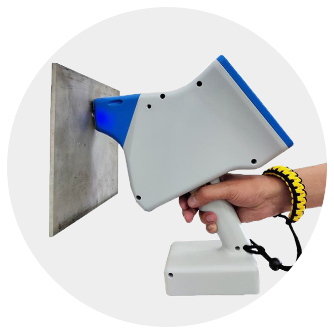
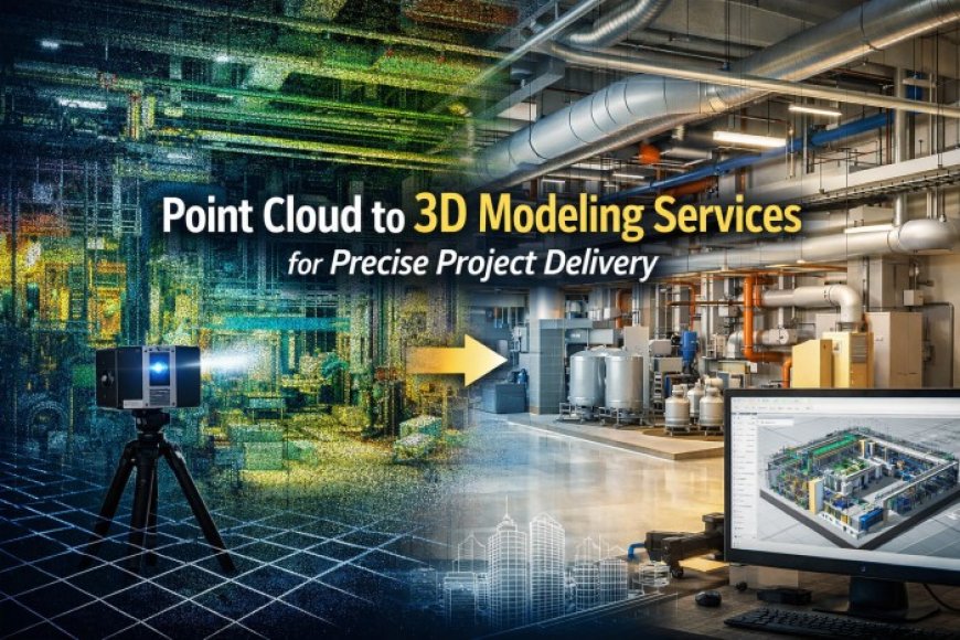
What exactly is point cloud data? It is a massive collection of data points plotted in a 3D coordinate system. These points represent the external surface of an object or physical space. Surveyors and engineers capture this data using advanced tools like laser scanners (LiDAR) and specialized camera drones.
The primary advantage of point cloud data is its incredible accuracy. It provides a highly detailed, exact replica of real-world conditions. You get a digital snapshot of a building, landscape, or mechanical room exactly as it exists.
However, raw point cloud data has distinct limitations. The files are notoriously massive and difficult to store or share. The data is also visually complex, often looking like a dense cloud of dots, which makes it unsuitable for direct use in standard architectural or engineering software. To make the data useful, it must be converted into a structured 3D model.
The Process of Converting Point Cloud to 3D Models
Transforming billions of scattered data points into a clean, workable model involves a systematic technical process.
Data Registration and Cleaning
The first step involves aligning multiple scans. A scanner can only capture what is in its line of sight, so large sites require dozens of individual scans. Technicians align these separate scans into one cohesive point cloud. Following alignment, the data undergoes rigorous cleaning. Software helps reduce noise and remove unnecessary outliers, such as people walking through the scan or temporary construction equipment.
Segmentation and Feature Extraction
Once the data is clean, the focus shifts to identifying distinct objects within the cloud. Technicians separate the data representing walls, pipes, and structural elements. This extraction process relies on a combination of automated software algorithms and meticulous manual review by skilled modelers.
3D Model Reconstruction
With the features isolated, the actual modeling begins. The team creates surfaces and meshes to form geometric shapes. For architectural, structural, and mechanical, electrical, and plumbing (MEP) elements, parametric modeling is applied. Modelers must also adhere to specific Level of Detail (LoD) requirements, ensuring the model contains the exact amount of geometric and informational complexity required by the client.
Quality Control and Validation
The final phase is rigorous validation. The new 3D model is overlaid onto the original point cloud data to ensure dimensional accuracy. Quality control teams verify that every structural element complies with project-specific standards before delivering the final file.
Benefits of 3D Models from Point Cloud for Project Delivery
Converting point clouds into 3D models offers immense advantages that directly impact a project's bottom line.
Enhanced Accuracy and Precision
Having a precise model drastically reduces errors and the need for costly rework. Teams gain a perfect spatial understanding of the site, ensuring that new designs will fit exactly as intended into existing conditions.
Improved Collaboration and Communication
A 3D model provides a clear, visual representation that all stakeholders can easily understand. It facilitates better communication between architects, engineers, and clients. It also allows for easier identification of clashes and conflicts before construction even begins.
Cost and Time Savings
Accurate models enable faster design iterations. Because the model reflects reality flawlessly, on-site discrepancies are minimized. You spend less time troubleshooting in the field and more time executing the planned work.
Lifecycle Management
The value of a 3D model extends far beyond the construction phase. Facility managers use these models for ongoing maintenance and operations. If a building needs future modifications or expansions, the existing model serves as an accurate baseline.
Compliance and Documentation
Accurate 3D models serve as perfect as-built documentation. They provide a reliable historical record of the property, which is crucial for regulatory compliance and securing future permits.
Applications Across Industries
The demand for accurate 3D modeling spans multiple sectors, each using the technology to solve unique challenges.
Architecture, Engineering, and Construction (AEC)
The AEC industry relies on these models for existing condition modeling. When planning renovation and refurbishment projects, architects need an exact digital replica of the building. The models also enable critical clash detection between new MEP systems and existing structural frameworks.
Manufacturing and Industrial
Upgrading a manufacturing plant requires precise planning. 3D models assist in plant retrofitting by mapping complex pipework and machinery. Facility managers use the models to optimize equipment layout and ensure new production lines will fit perfectly.
Heritage and Preservation
For historical sites, point cloud modeling provides a method for digital archiving. If a heritage building is damaged, the 3D model serves as a reference for accurate restoration planning, ensuring every detail is preserved.
Infrastructure Development
Civil engineers use this technology for road and bridge modeling. It allows for accurate topography assessment and utility mapping, ensuring new infrastructure integrates safely with existing underground networks.
Choosing the Right Service Provider
Selecting the right partner to handle your modeling needs is critical for project success. You need a team with deep expertise and experience in point cloud processing. They must utilize the latest technology and software capabilities to handle massive datasets efficiently.
Always review a provider's portfolio and client testimonials to verify their track record. Look for a company with strict quality assurance processes in place. Firms like Archdraw Outsourcing specialize in delivering highly accurate, detailed models tailored to exact project specifications, ensuring you get reliable data every time.
The Future of Flawless Project Delivery
Leveraging professional point cloud to 3d modeling services is no longer a luxury; it is a necessity for precise project delivery. By turning raw data into intelligent 3D models, project teams benefit from enhanced accuracy, reduced costs, and streamlined collaboration.
As laser scanning technology becomes more accessible and modeling software grows more sophisticated, this process will only become faster and more integral to project planning. Embracing this workflow ensures that your next construction, renovation, or industrial project is built on a foundation of absolute precision.
What's Your Reaction?